Geography
Showing 1–8 of 45 resultsSorted by popularity
- Canadian Social Studies
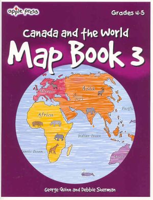
Canada Map Book 3
$14.99 Add to cartThe third in a series of activity books Canada Map Book 3 (Canada & the World) is designed to develop map skills and introduce students to the special language of maps. Includes 40 activities that are organized around 4 general skills, shape, symbols, direction, position and scale. Topics cover landforms, water bodies, map legend, map grids and much more.
- Canadian Social Studies
Canada Map Book 1
$13.99 Add to cartThis activity book introduces students to Canada through the use of maps. Its purpose is to help students at a grade 2-3 reading level to develop basic map skills while gaining a better understanding of Canada’s geography.
What’s Inside?
– Reading Maps
– Map and a Globe
– Canada’s Provinces and Territories
– Canada’s Regions
– Landforms and Water Bodies
– and Review, which includes Canada map cut-outs and puzzle, hidden places, map words, 2 quizes, answers, and an Outline Map of Canada - Canadian Social Studies
Canada Map Book 2
$13.99 Add to cartThis activity book introduces students to Canada through the use of maps of Canada. Its purpose is to help students at a grade 3-5 reading level develop basic map skills while gaining a better understanding of Canada’s Geography. These map books will help your students develop map and globe skills as they learn about the geography of Canada. Each one becomes more challenging so that basic geography skills and concepts are mastered.
- Geography
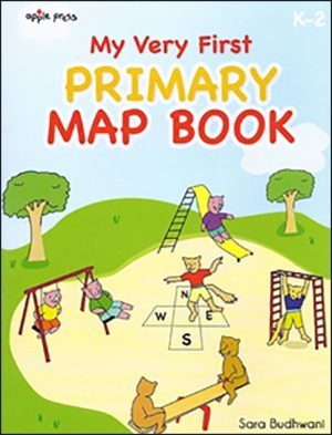
My Very First Primary Map Book
$13.95 Add to cartThis reproducible map book is perfect for young children and introduces shapes, symbols, position and direction.
It teaches beginner readers the ABCs of maps. Imaginative topics will appeal to young children with cartoon-like animals and fairy tales with a twist.
At the bottom of each page is a unique “Teacher Zone” which offers meaningful activity extensions as well as specific learning outcomes to deepen understanding.
- Canadian Social Studies
Canada Map Book 5
$14.99 Add to cartThe activities in Map Book 5, designed for grades 6-8 readers, build on those skills developed in Apple Press Map Book 3 & 4. The topics utilize a variety of thematic maps relating to Canada’s physical and cultural geography. These map books will help your students develop map and globe skills as they learn about the geography of Canada. Each one becomes more challenging so that basic geography skills and concepts are mastered.
- Canadian Social Studies
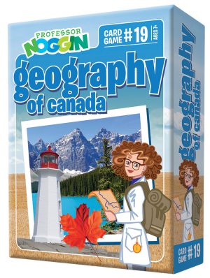
Professor Noggin Geography of Canada
$12.99 Add to cartIt’s the 2020 edition of Professor Noggin with all new photos! From Agriculture to Yukon, this kids card game will help kids get educated on the wonderful country of Canada! Geography of Canada even includes a topic card called, ‘That’s a Funny Name’.how could this not be a fun card game and way to learn about the world’s second largest country by total area.
The Professor Noggin series of educational card games encourages kids to learn interesting facts about their favorite subjects. Each of the thirty game cards combines trivia, true or false, and multiple choice questions. A special three-numbered die is included which adds an element of unpredictability. Easy and hard levels keep kids interested and challenged – while of course having fun!
- Canadian Social Studies
Canada Map Book 6
$14.99 Add to cartThe maps used in this book highlight Canada’s exploration and settlement history from the migration of the Frist Peoples to the creation of Canada’s newest territory, Nunavut. The activities encourage students to inspect a plan of Port Royal, to interpret a survey of a township, and to follow the routes of several legendary explorers who mapped the western and northern interior of Canada. Comparing maps that record the creation of new provinces and territories also help students to visualize the territorial growth of Canada. These map books will help your students develop map and globe skills as they learn about the geography of Canada. Each one becomes more challenging so that basic geography skills and concepts are mastered.
- Canadian Social Studies
Outline Maps of Canada Grades 4-8
$28.99 Add to cart“Outline Maps of Canada” is an important resource for use in support of the existing social studies curriculum.
Almost every map included can be used to teach or review the use of directions on a compass rose, symbols on a legend and mapping terms such as border, boundary, and hemisphere.
The maps will help students:
- recognize the shape of Canada;
- locate Canada in North America and the world;
- recognize and locate Canada’s provinces, territories, oceans, main bodies of water, capital cities and inhabited locations;
- begin to recognize and use parallels of latitude and meridians of longitude;
- discover land-forms, rivers, and lakes in each province or territory;
- provide starting points for inquiry/research on specific provinces and territories;
- use a grid on a map of Canada and discover the locations of regions in Canada.
64 Pages